GIS Software :
A Geographic Information System (GIS Software) is designed to store, retrieve, manage, display, and analyze all types of geographic and spatial data. GIS software lets you produce maps and other graphic displays of geographic information for analysis and presentation.....
GIS use for :
A geographic information system (GIS) is a computer system for capturing, storing, checking, and displaying data related to positions on Earth's surface. By relating seemingly unrelated data GIS can help individuals and organizations better understand spatial patterns and relations.
Best GIS softwares :
Best GIS softwares :
- 1 ArcGIS (Esri) ...
- 2 QGIS (Quantum GIS) ...
- 3 GRASS GIS. ...
- 4 MapInfo (Pitney Bowes) ...
- 5 Global Mapper (Blue Marble) ...
- 6 GeoMedia (Intergraph/Hexagon Geospatial) ...
- 7 Manifold System (Manifold) ...
- 8 SAGA GIS.
Here we see that ESRI is the best GIS software & listed in no 1 in table in world.
IS google earth is a GIS ?
Google Earth provides search capabilities and the ability to pan, zoom, rotate, and tilt the view of the Earth. ... Google Earth is not a Geographic Information System (GIS) with the extensive analytical capabilities of ArcGIS or MapInfo, but is much easier to use than these software packageges.
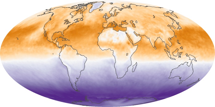
 This is an example of GIS software....
IS google earth is a GIS ?
Google Earth provides search capabilities and the ability to pan, zoom, rotate, and tilt the view of the Earth. ... Google Earth is not a Geographic Information System (GIS) with the extensive analytical capabilities of ArcGIS or MapInfo, but is much easier to use than these software packageges.

No comments:
Post a Comment